All Samples
Load a PostgreSQLFeatureLayer
This sample shows how to display a map using data loaded from PostgreSQL PostGIS.
Load a ShapeFileFeatureLayer
This sample shows how to display a map using data loaded from a ShapeFile (.shp).
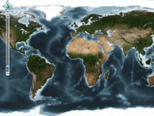
Load A HeatLayer
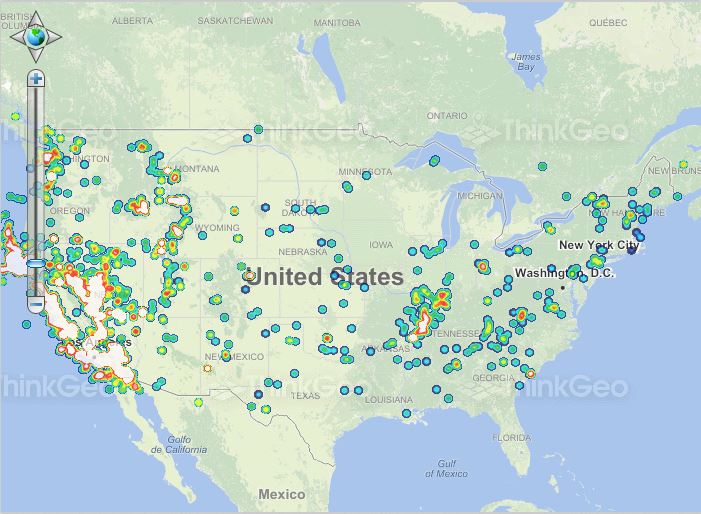
Heat maps are a technique increasingly used
in various fields such as biology and geology. They are also used for displaying areas of web pages that are
most frequently interacted with.
In this sample, we apply this concept to geographic maps. Heat maps are a great way to give users a
visually compelling representation of the distribution and intensity of geographic phenomena.
Display a Satellite Image
This sample simply adds an ECW layer to show a satellite image on the map.
Load a Standard Image with World File
A "standard image" is one of several formats supported natively by the Windows operating system; these include .bmp, .png, .gif and so on. In this sample we'll show you how to load these types of images onto a map with just a few lines of code.
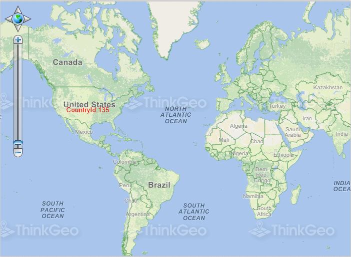
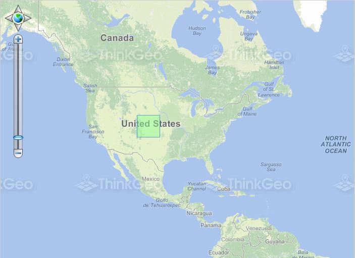
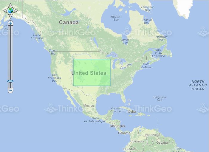
Display Layers at Different Scales
In this sample, we show you how to set different styles for the map or load different data to the map
at scales from 1:10,000 to 1:100,000,000.
This sample is also an opportunity to review the very basic concept of scale in GIS. The easiest way to
think about scale is to consider it a ratio between what you see on the screen and the real world. So, if the
scale is 1:10,000 it basically means that one centimeter (you can use any unit) on the screen represents
10,000 centimeters (or 100 meters) in the real world. Of course, there are some intricacies involved with calculating
the scale for a map according to its projection, etc. But if you think of scale in that very simple way, you will have
a general idea of what your map's scale truly represents.
Prevent Certain Features from Drawing
This sample shows how to apply a filter to your data before rendering.
Convert To/From Well Known Binary
This sample shows you how to convert a geographic shape to WKB (Well Known Binary) and back.
Convert To/From Well Known Text
This sample shows you how to convert a geographic shape to WKT (Well Known Text) and back.