Instructions
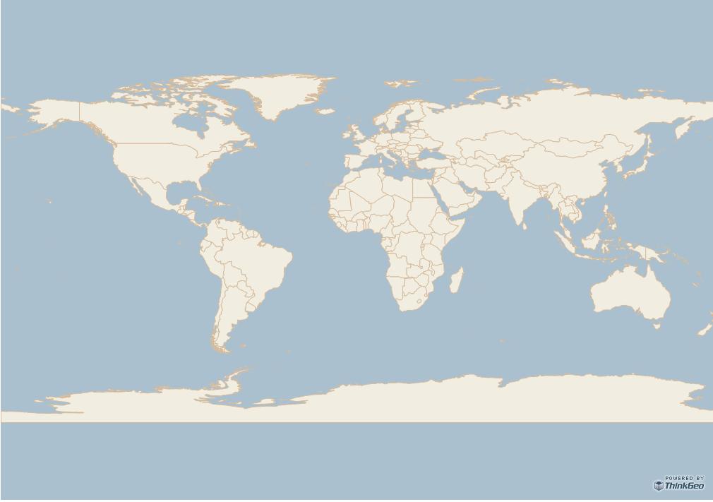
This sample specifies how to work with PostgreSQLFeatureLayer.
(To load a PostgreSQLFeatureLayer, you have to reference "[Install-Path]\Developer Reference\Spatial Extension\Postgre Extension\PostgreExtension.DLL" and Uncomment lines(22 ~ 25) Please modify the visible property of the map in .cshtml file if you load the map from PostgreSql using following code. )
(To load a PostgreSQLFeatureLayer, you have to reference "[Install-Path]\Developer Reference\Spatial Extension\Postgre Extension\PostgreExtension.DLL" and Uncomment lines(22 ~ 25) Please modify the visible property of the map in .cshtml file if you load the map from PostgreSql using following code. )
