All Samples
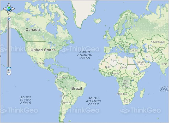
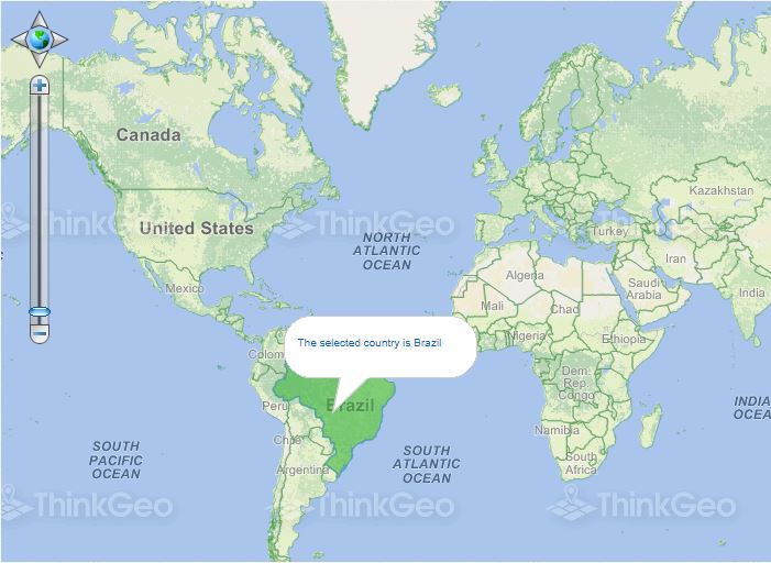
Zoom In to the Feature the User Clicked
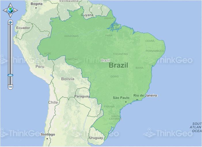
This sample is similar to the sample "Find The Feature The User Clicked On". Here, instead of just showing information about the selected feature, we will instead highlight the feature and the extent of the map will be set to the bounding box of that feature. Just click on a country and the map will zoom in to it.
Measure Map Tool
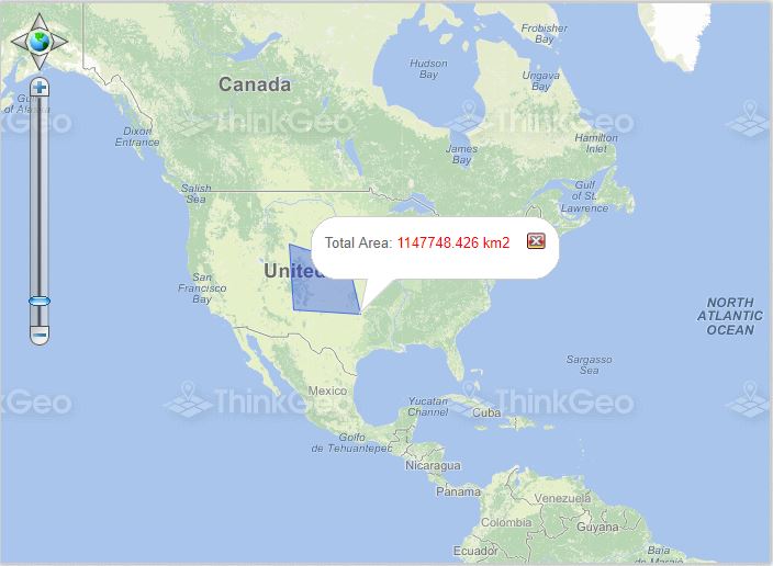
This sample demonstrates the Measure map tool, which is used to measure distances and areas.
Execute a Spatial Query
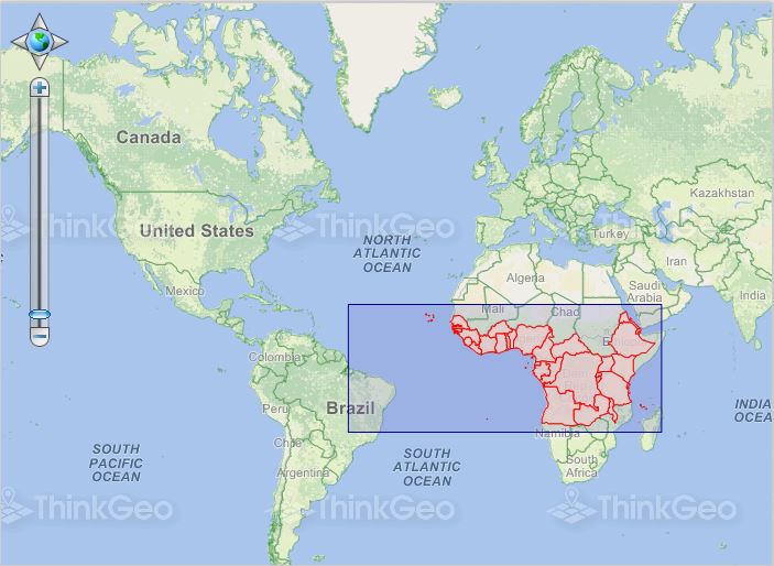
This sample shows how to perform various types of geoprocessing in order to query the features in a ShapeFileFeatureSource.
Find Features Within a Distance
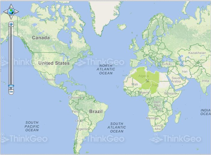
This sample demonstrates finding the features in a ShapeFileFeatureSource that are within a specified distance.

Get All Features

This sample simply retrieves all the features from a feature layer and displays some of their data.
Get Column Data
This sample simply shows how to get all the column data from a feature layer and display them.
Get Data of the Location Where the User Clicked
This sample shows how to perform a spatial query and display resulting information about the area we clicked on.
Find Feature by ID
This sample shows how to find and display detailed information about a feature based on its ID.
Draw the Map Using Different Simplification Types
The sample shows how to render the map geometry using two different simplification types (TopologyPeserving or DouglasPeucker).