Zooming, Panning, Moving
Navigation History
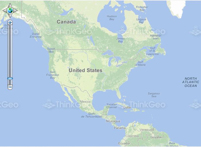
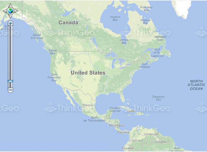
This sample demonstrates how to zoom back and forth between previously used map extents.
Track Zoom in a Map
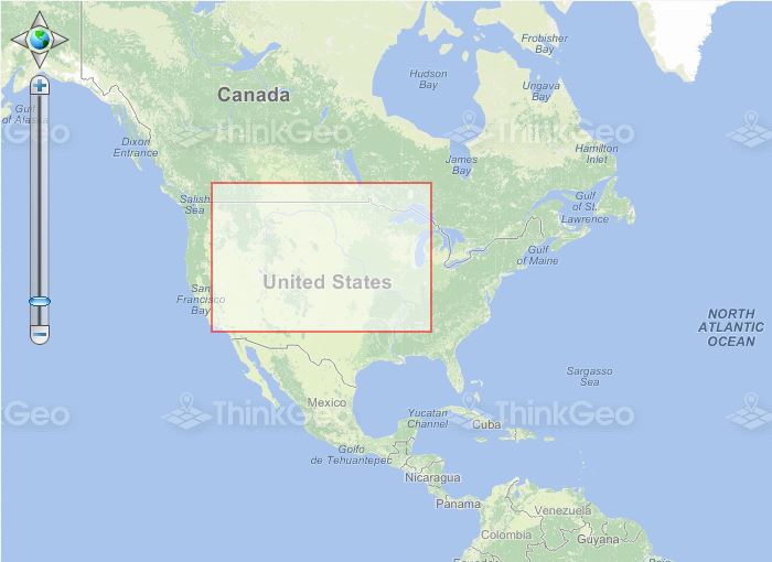
This sample shows how to track zoom the map to a specified extent defined by dragging the mouse.
Pan the Map
This sample shows how to enable/disable the functionality which allows the user to pan the map or use the mouse wheel to zoom in or out.
Restrict ZoomLevels to Less than 20
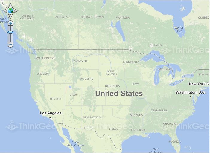
This sample shows how to limit the number of available ZoomLevels to less than 20.
AnimationPanMapTool
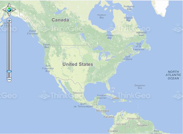
This sample shows how to center the map at the clicked point using a smooth animation.
Scale Feature Up and Down
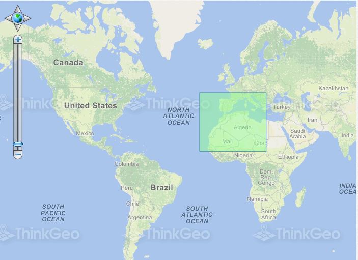
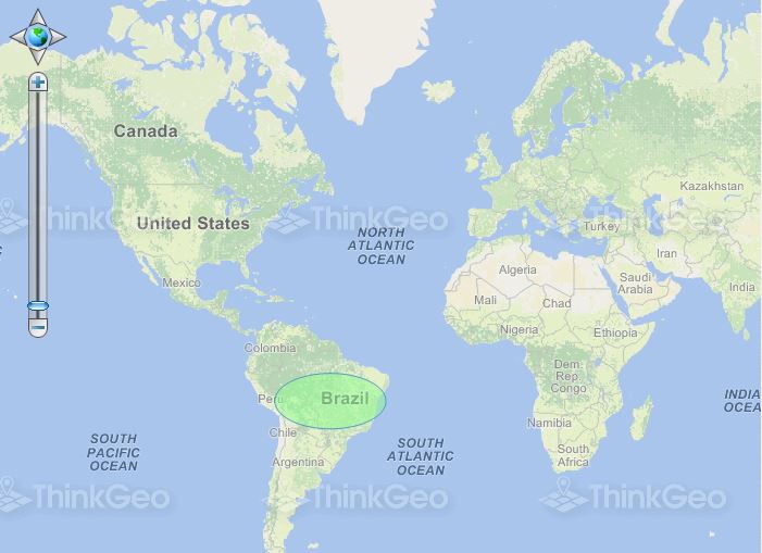
This sample shows how to change the size of a polygon by scaling it up or down.
