Layers & FeatureSources
Plot a Point Using Lat and Long
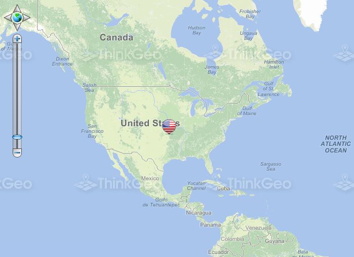
This sample demonstrates how to draw a point on the map at the specified coordinates by using a custom image.
Create a ScaleLineAdormentLayer
This sample demonstrates how to display a scale line on the map using ScaleLineAdornmentLayer.
Create a RestrictionLayer
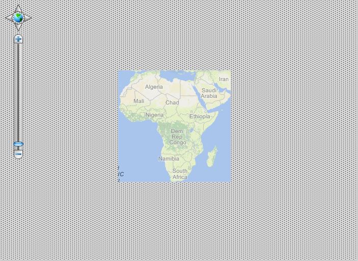
This sample shows how to render the map at a limited extent or prevent certain areas from displaying.
Create a GraticuleAdornmentLayer
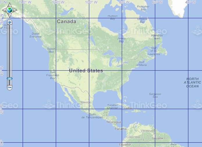
This sample demonstrates adding a graticule layer to the map to display a grid of latitude and longitude values.
Load TabFileFeatureLayer
This sample shows how to display a map using data loaded from a MapInfo TAB file.
Create an InMemoryFeatureLayer
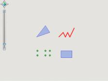
This sample shows how to display a map using data that is stored only in memory.
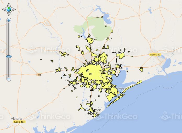
Create a Spatial Index for a ShapeFileFeatureLayer

This sample shows how to create a spatial index for a ShapeFileFeatureLayer.
Load a GridFileFeatureLayer
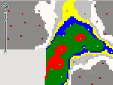
This sample shows how to display a map using data loaded from a Grid file.
Load a Map from Streams
As an alternative to loading data from a specified data source on the file system, you can choose to pass your own stream. This sample shows you how to use the StreamLoading event of the ShapeFileFeatureSource for this purpose.
Load a MSSQL2008FeatureLayer
This sample shows how to display a map using data loaded from Microsoft SQL Server 2008.