Browse the sample applications below to see how to use Map Suite WebAPI Edition to build professional grade mapping applications using both the Leaflet and OpenLayers JavaScript mapping libraries. Source code for these samples can be found in the wiki.
Getting Started
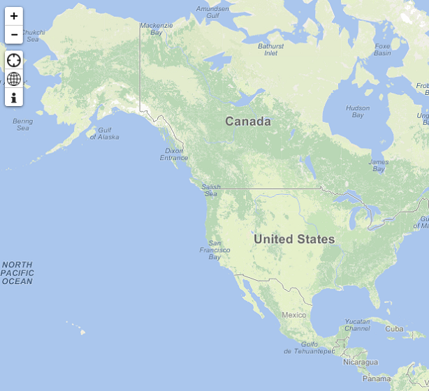
ThinkGeo's Map Suite WebAPI Edition makes it easy for you to add mapping functionality to your application quickly and efficiently. This sample shows some of the basic functionality of each of the JavaScript client libraries. The Quick Start Guide will show you everything you need to know to start building your first app.
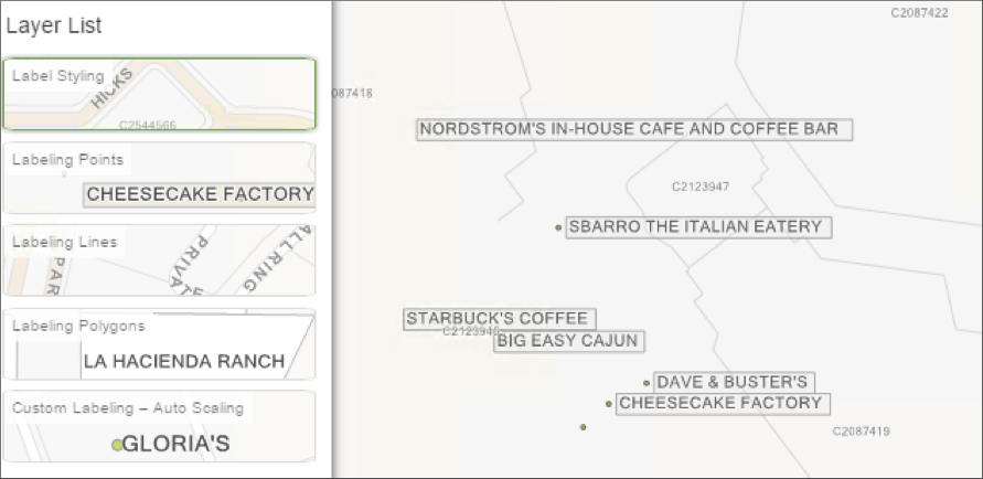
Labeling
Customize your labeling with Map Suite WebAPI Edition. Explore different techniques for labeling features.
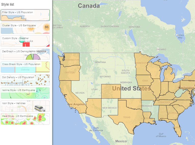
Visualization
Visualize your data with a variety of styles available in Map Suite WebAPI Edition. Some of the available styles include: filter styles, point cluster styles, ZedGraph, dot density renderers, heat styling and more.
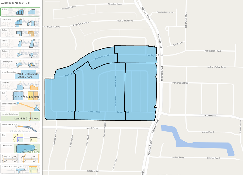
Geometric Functions
Utilize geometric functions to manipulate and analyze features in a variety of ways. From basic area and distance measurements to complex buffering; Map Suite WebAPI Edition provides you with a number of geometric functions.
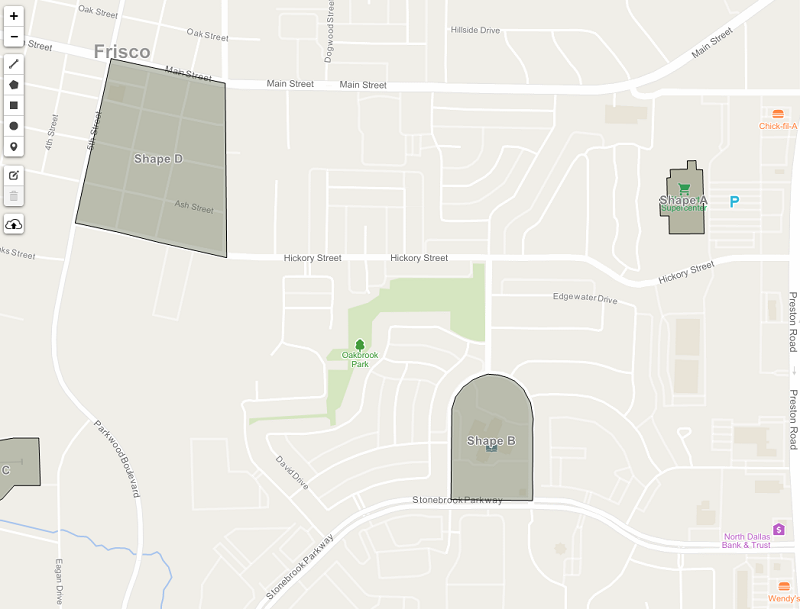
Draw and Edit Features
Create and edit shapes on the map. Draw and edit existing features to create powerful mapping applications.
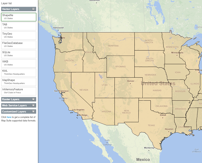
Layers
Map Suite supports a number of data format. This sample shows you how to render some of the more common data formats.
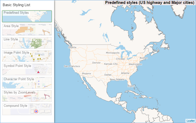
Basic Styling
Visualize your data with some of available styles, including PointStyle, LineStyle, AreaStyle, CompoundStyles, and PredefinedStyles. These can be used together to achieve desired effects.
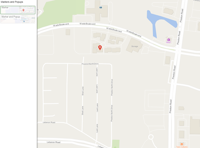
Markers and Popups
Explore how to make your maps more interactive by using Markers and Popups.
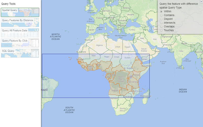
Query Tools
Discover all the different ways you can query your data. This sample contains various querying tools.
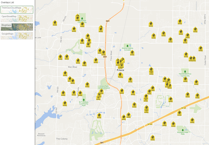
Overlays
Discover how to use overlays to build up your map or add existing basemaps to your application. In this sample we show you how add World Map Kit, Open Street Map, Bing Maps, Google Maps and custom overlays.
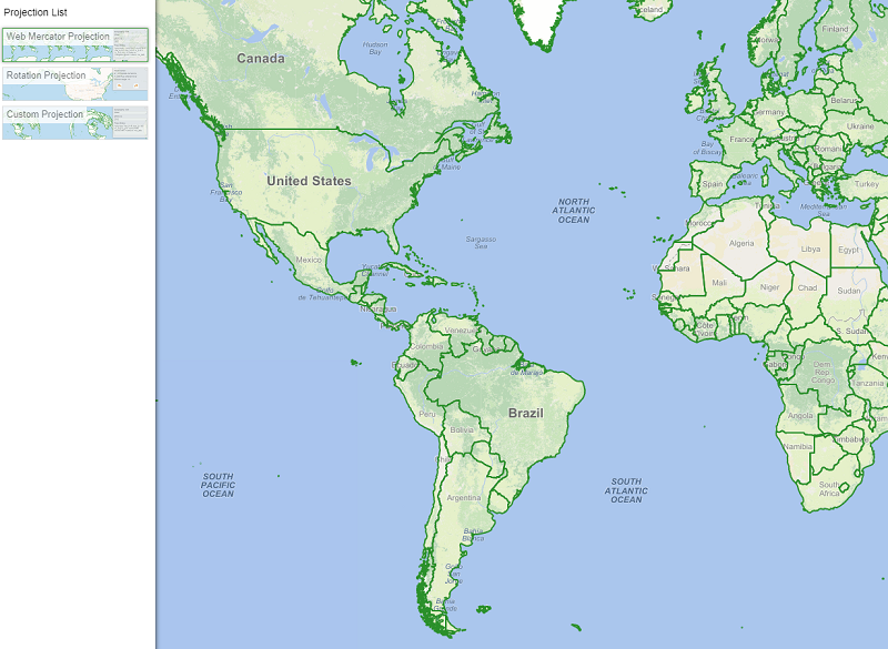
Projection
Learn about map projections and how to apply it to your data. This sample shows you some of the more common map projections.
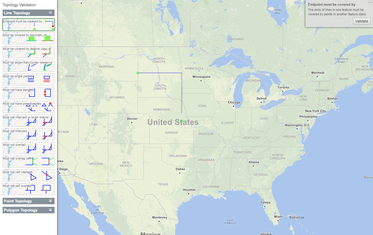
Topology Validation
Learn about how to use topology validation with map suite. You can add build those validation to your projects.
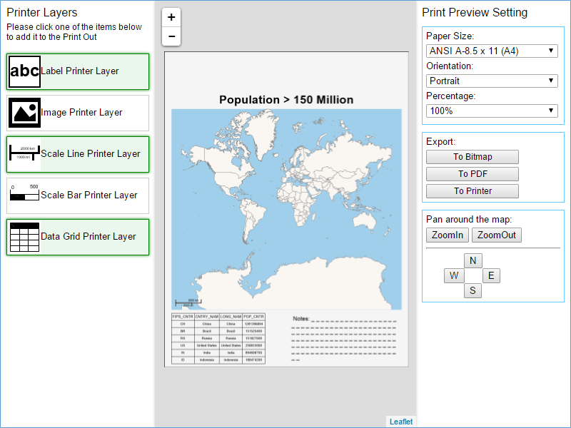
Printing
Learn how to implement printing capabilities into your application.
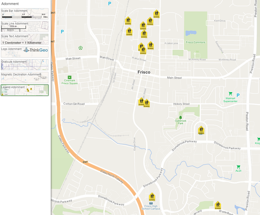
Adornments
Learn how to add legends, scale bars, north arrows and many more adornments to your map.